Arctic sea ice shrank to its third-lowest extent!
The National Snow and Ice Data Center announced that the Arctic sea ice has reached a minimum of 5.10 million square kilometers (1.97 million square miles) on September 12, making 2009 the third-lowest year on record behind 2007 (1.65 million square miles) and 2008 (1.74 million square miles).
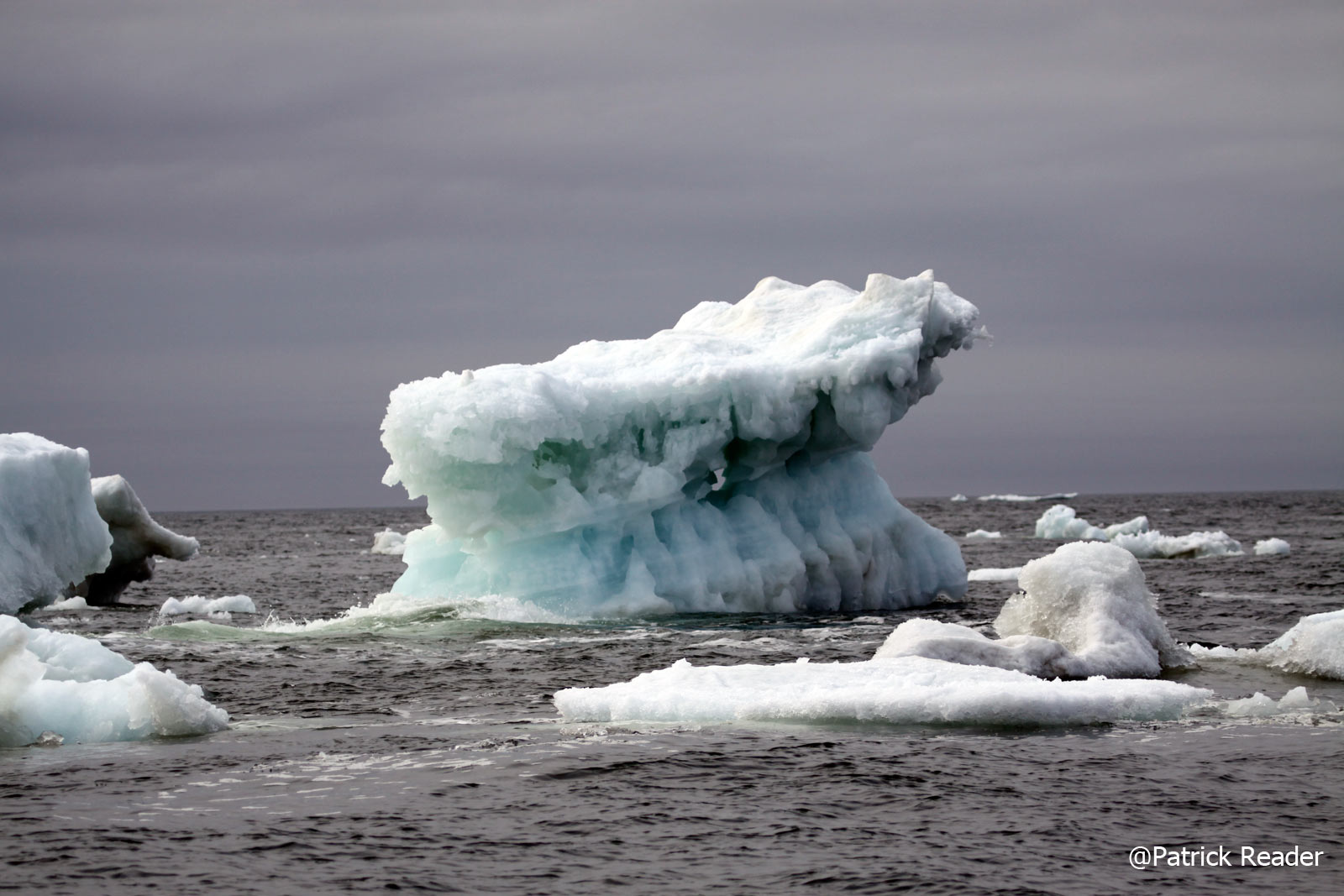
Scientists have voiced concern for years about the alarming decline in the size of the Arctic ice cap, which functions as a giant air conditioner for the planet’s climate system as it reflects sunlight back into space. As a greater portion of the ice melts, larger expanses of darker sea water are exposed, absorbing more sunlight and adding to the global warming effect attributed to rising levels of heat-trapping greenhouse gases emitted into the atmosphere by human activity.
Arctic sea ice appears to have reached its minimum extent for the year, the third-lowest extent since the start of satellite measurements in 1979. While this year’s minimum extent is above the record and near-record minimums of the last two years, it further reinforces the strong negative trend in summertime ice extent observed over the past thirty years.
On September 12, 2009 sea ice extent dropped to 5.10 million square kilometers (1.97 million square miles). This appears to have been the lowest point of the year, as sea ice has now begun its annual cycle of growth in response to autumn cooling. The 2009 minimum is the third-lowest recorded since 1979, 580,000 square kilometers (220,000 square miles) above 2008 and 970,000 square kilometers (370,000 square miles) above the record low in 2007… further info under the National Snow and Ice Data Center official website >>

